- Prachi Enclave, Bhubaneswar-751016, INDIA
- info@engeosoft.com
- +91 809 346 7277
- +91 674 311 4008
ALS - LiDAR
Bare-Earth ground & water classification
Bare-earth classification involves identifying the LiDAR returns for naked surface of earth and classifying them to desired class. Depending upon the scope identification of water features and classifying them to water class is done. The data have been subjected to automated and manual editing to remove vegetation, buildings, and other man-made structures. Low noise and high noise points are classified to different classes.Classified LiDAR ground point is more useful for generate bare earth products
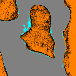
Bare-Earth ground with hydro flattened breakline
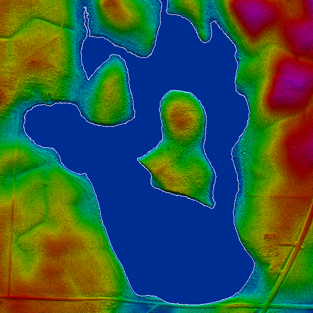
Hydro-flatteningis the process of creating a LiDAR – derived DEM in which water surfaces appear/behave as they would in traditional topographic DEMs created from digital terrain models DTMs. Delineated hydro polygon and assigned elevation to make hydro enforcement & hydro flattened. and insert break line for shoreline areas in order to “flatten” a body of water’s surface elevation. This allows for more an accurately displayed appearance for bodies of water in LiDAR datasets. Hydro-flattened datasets display enhanced aesthetics and deliver greater accuracy for products such as contours and floodplain studies
Hydro flattened DEM & 3D contour
Digital elevation models (DEMs) are one of the products that is derived from lidar bare-earth point cloud, DEMs are digital representations of the earth’s topographic surface.
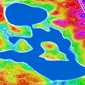
Contourlines are created from the LiDAR data(Classified grount point) to give information on elevation of the earth’s surface.
Using LiDAR points we provide seamless Topographic Contour Mapping, Mining Contour Mapping, and Structural Contour Mapping as per customer’s requirement.
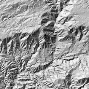
Hill Shade image
The hill shadefunction produces a grayscale 3D representation of the terrain surface, with the sun’s relative position taken into account for shading the image. Hill shading is a technique for visualizing terrain determined by a light source and the slope and aspect of the elevation surface.
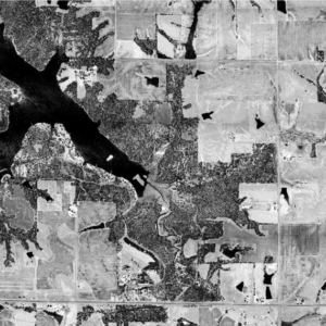
Intensity image
Amount of energy reflected for each return.Different surfaces reflect differently based on wavelength of laser.It will highly reflective on water absorbs and vegetation.It can be used to build black and white images.
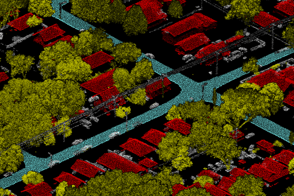
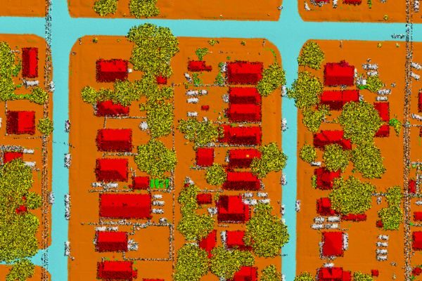
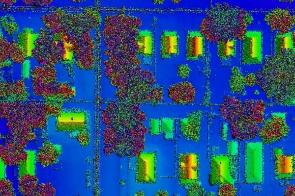
Detailed Classification & DSM
A Digital Surface Model captures a surface—including natural and human-made structure such as vegetation,buildings,fence etc. They illustrate reflective surfaces of all features elevated above the ‘bare earth’. In short, DSMs represent the Earth’s surface and all objects on it, excluding moving objects & living being. Every LiDAR point have classified to define the types of objects that has reflected the laser pulse. And LiDAR points point cloud classified into a number of categories.
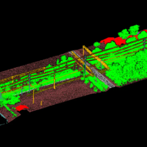
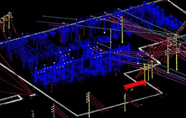
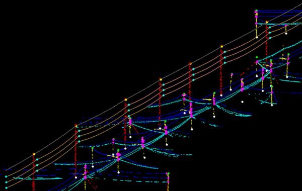
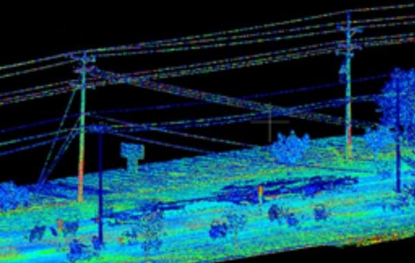
Powerline classification
Owing to the increasing demand for powerline corridor mapping rather than conventional techniques, Engeosoft has a dedicated team of experts for making LiDAR classification and vectorization. By designing the electrical network in 2D and 3D from LIDAR and Imagery, we provide our clients with highly accurate and reliable mapping of 2D and 3D power line models at very cost effective price.
MLS - LiDAR
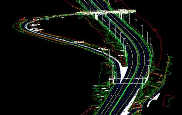
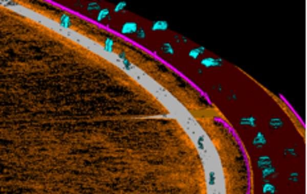
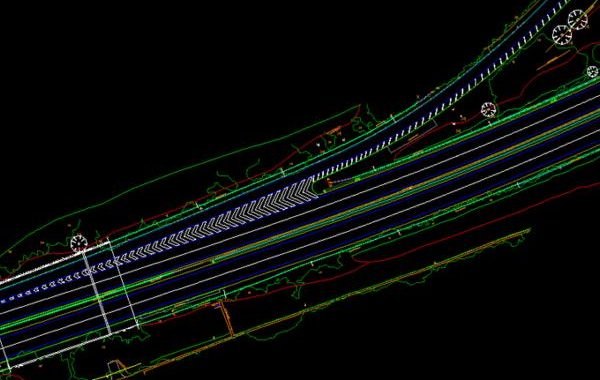
Mobile Mapping & Classification
Get stunning, accurate and scalable 3D visualisations, 3D models with ENGEOSOFT’s advanced Classification & 3D mapping services. Our expert team will process any surveyed Mobile LiDAR point cloud data into accurate 3D data set to create models and map according to your requirement
TLS - LiDAR
Classification & modeling
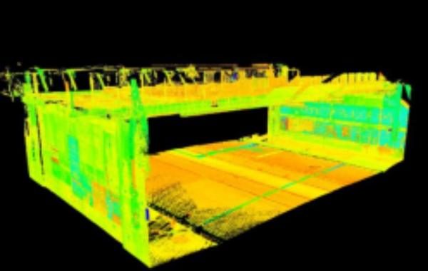
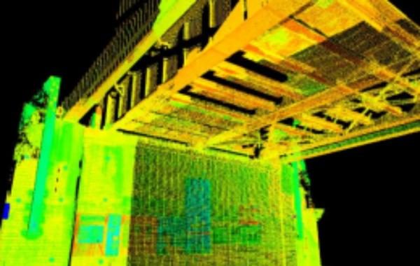
Terrestrial laser scanning is a ground-based version of the airborne LIDAR frequently used for terrain, industrial plants and landscape mapping.
We have used the terrestrial LiDAR to classify the target object and approach for producing detailed measurements and drawings for electrical substations, oil and gas plant, railway crossings, bridges, mines and many more. We’re in ENGEOSOFT doing TLS classification and making the best model for our customers
UAV - LiDAR
Detailed Classification & Vectorization
UAV LiDAR is used to quickly obtain three-dimensional information regarding vegetation over large areas with a high level of precision. and land surveying, roof inspections, bridge/building surveys, solar plants, infrastructure maintenance, mine units and construction sites.
Our skilled operators have years of experience in UAV LiDAR point cloud classification and mappping services. we extract the UAV LiDAR point cloud in automatic and manually process to classify points and 2D,3D vectorization of all the features as per customer’s requirement
