- Prachi Enclave, Bhubaneswar-751016, INDIA
- info@engeosoft.com
- +91 809 346 7277
- +91 674 311 4008
Aerial Triangulation
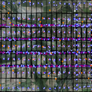
Aerial triangulation represents the process for determining the correct position and orientation of each image in a series of aerial images so they can be compiled into a map


DEM / DTM / DSM
DEM is primarily used in cartography and geographic information systems and is the most common basis for digital terrain maps, (DTM) is often required for flood planning, drainage modeling, land use research, geological and other applications, and in planetary science, DSM is useful in 3D modeling for telecommunications, urban planning, aviation, landscape modeling, urban modeling, and visualization applications.
Orthophoto Generation & Mosaicing
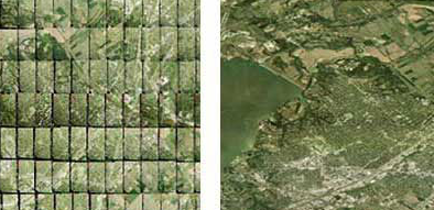
The modification of such distortions in the aerial photographs captured by satellites or image sensors is known as orthophoto generation.The output from a process where a number of overlapping photos (e.g. from a drone or aerial camera) are stitched together with distortions removed to create a complete and continuous image representation or map of a portion of the earth.


Contour Generation
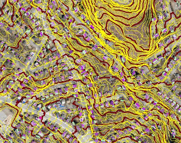
We exploit high-precision techniques to generate and place accurate and smooth contours. Realize and visualize elevations accurately as per your contour intervals using our contour generation services. We provide Topographic Contour Mapping, Mining Contour Mapping and Structural Contour Mapping
Plannimetric Mapping 2D & 3D
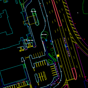
Get the most efficient and accurate planimetric data for your project.Our rigorous quality checks ensure that you get the best results in the data format or specification of your choice.

