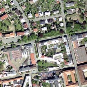
In the realm of precision mapping, design, and analysis, the innovation of Ortho Photo Processing services has revolutionized how we visualize and interpret the world around us. At Our Engeosoft we specialize in Ortho Photo Processing, leveraging advanced technology to transform aerial imagery into accurate, detailed, and georeferenced orthophotos that redefine how industries approach mapping and analysis.Our process begins with the collection of high-resolution aerial imagery from drones, satellites, or aircraft. These images capture the target area from multiple angles, ensuring comprehensive coverage.